
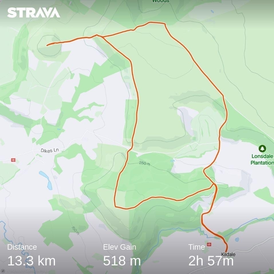
Captain Cook Round
It’s rare we have a completely free weekend together but due to plans to visit friends falling through, that’s how we found ourselves this weekend. To get us out and about we decided to take ourselves on a long walk a little further afield than we’d usually go. We chose the Captain Cook Round from Pocket Mountains' North York Moors guidebook.
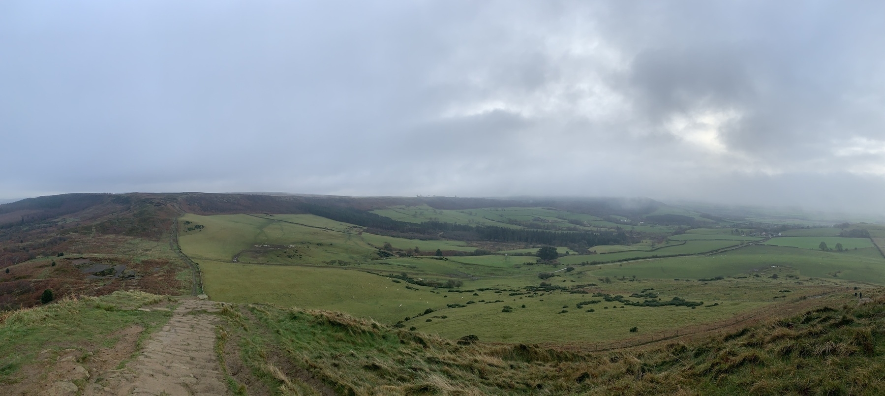
The day was overcast but still, fine while you were on the move but a damp cold set in if you stood still too long.
The walk started with a steep climb from our starting point at Kildale station up a lane to meet the Cleveland Way. Our route then took us across the moor where we saw a lot of grouse in the heather. We diverted off the main path to climb to the summit of Roseberry Topping which needed to be taken slow due to mud on the stone path.
Rejoining the Cleveland Way we dropped down to Gribdale, where we stopped briefly for our picnic. Then it was back on the ascent to Captain Cook’s monument which was shrouded in cloud when we got there.
As we decended through woods and farmland back to the station we caught sight of a barn owl in flight. It initially came alongside us from the farm buildings and into the woodland, then passed up the lane where we’d just come.
Distance: 13.3km Elevation: 518m Time: 2h 57m